
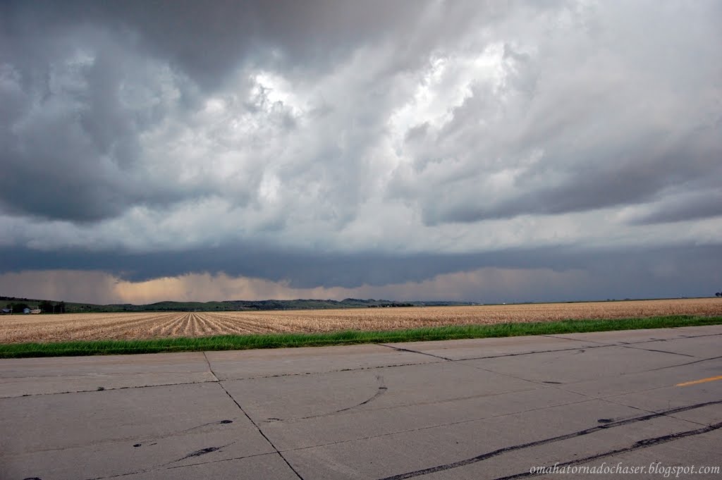
this was the first view we had of the base of the storm. notice the very slight lowering. it was obviously very hard to tell what this was from this distance

a view of the storm heading towards us

again

again

pic of another cell trying to go up back to our east, this one would also die shortly after

we moved down the highway closer to the storm and got this pic

this was the next stop down the road. we are southwest of cozad, and southeast of gothenburg. about this time the storm went tornado warned

velocity grab on the radar a little after this. notice the white circle, that is our location. the green next to the red in the middle just above our position is the rotation in the storm

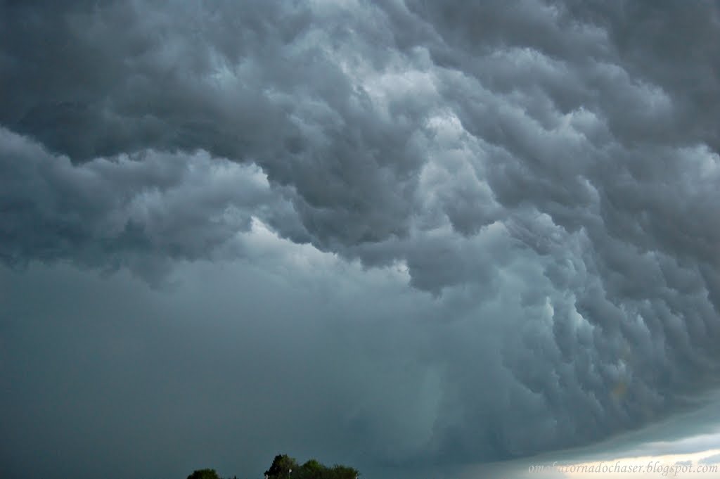
this looked to be mainly scud, but you could see the broader rotation in the storm

about heare is where a persistent wall cloud developed. hard to tell the rotation from this point
again


we headed back east to stay ahead of the storm and to try and get back to a road that would take us north across the interstate to try and stay with it. again this storm was moving at near 60 mph! it had ping pong ball sized hail with it as well


we're now north of cozad on the other side of the interstate. the storm is no longer tornado warned, but still has large hail and gusty winds
another pic north of cozad

driving down the interstate taking a pic out my window!

stopped one more time back ahead of the storms to try and get some lightning pics. of course here it wouldn't drop a bolt at all. back in cozad, i experienced some of the most intense lightning ever just as we pulled up to a gas station. i actually didn't feel safe running to and from my car! i wanted to try and get a pic of one of these bolts, but again i FELT TOTALLY UNSAFE, even just having my window open.
here is a link to the storm reports from that day:
http://www.spc.noaa.gov/exper/archive/events/100524/index.html
this is the website for stormchaser reports. there was another rather large tornado in south dakota this day that was seen by a lot of chasers. this one was only rated a EF-2, though i bet it was probably stronger at points when it was out in the open country.
http://stormtrack.org/forum/showthread.php?t=24186


so another chase without a tornado, and none again this year. as i write this report it is almost june and probably only a month left in the season. the forecast is calling for severe storms this tuesday, and then the flow turns to northwest. this weekend i'll be watching for any storms as there will be very high instability and strong shear over iowa where i will be staying with sarah's family. it could be a big event that day! last night and today omaha was missed by more tstorms. they weren't severe but it was rather amusing to watch the storms die right before they got to omaha late last night and early this morning, then sure enough this afternoon the front moved through with nothing, but then 30 miles east and southeast of here storms formed and of course then missed us again. i think i've seen 2 storms here in omaha so far this spring. c'mon june, don't disappoint!!

No comments:
Post a Comment