As we approached our storm, it was severe warned for large hail and strong winds only. There was another storm to its northwest that was tornado warned, but we opted to stay on the further south storm. We approached it from the east on a road right next to I-70. When we got close enough we could see rapid rotation in a wall cloud and little funnels dipping down briefly! The inflow into the storm was very strong as well, with the winds probably constantly being above 40 mph! We were sure a tornado was going to drop. We pulled off to the side of the road and watched the storm spin. Eventually, we realized it was heading right towards us but the rotation was weakening. We turned the car around to head east to get back out in front of it. We headed north of I-70 near Wilson and drove by Wilson State Park and the huge lake it sits on. The sky was green and created a beautiful scene as the storm moved over the lake. There were reports of a rain wrapped tornado about this time, but we didn't see anything. We headed towards the town of Sylvan Grove that was directly in the path of the storm, again stopping to take pics and video. We were at the back part of the storm and possibly saw the rain wrapped tornado as we saw rain curtains wrapping around rapidly. From Sylvan Grove we went north a bit and then east on Hwy 10. The storm had began to turn into a huge blob that made it seem even more impossible that we would see a tornado. We stayed out in front of it for awhile stopping every 5-10 miles or so to watch it, before it started to weaken and head north.
Suddenly there really wasn't any big storms to watch and we were looking at starting the trip home by 730. One last storm did pop though and we backtracked a bit to let it go over us in the town of Beverly. Radar showed this to have large hail, but not a stone fell where we were. I was getting even more frustrated! We made an attempt to follow this storm north as it grew as well but our closest option was a muddy gravel road, that we didn't want to drive on. So we headed back to Hwy 81 to head north and back in the direction of home. This last storm that had developed did cross the highway and we experienced nickel sized hail. It was heading northeast and I saw there would be another highway it would cross. We turned off on Hwy 24 to get back in front of the storm. I love getting into hailstorms with my car, since it isn't worth anything, I don't care about any dings!
The radar showed the storm strengthening and right before it was going to cross the hail size jumped to 4"!! I was suddenly a little worried about getting hit with baseball sized hail and losing a window. Especially since the wind was now howling at 50-60 mph! The hail began to get larger and larger as we drove east through the storm. I would estimate it was near golf ball sized and perhaps a bit larger, but we made it through without any loss of windows. We let the storm go on to the north as we headed east, and of course it was put under a tornado warning right as we left it. It was dark now though so we continued on home.
Some forecast hodographs below. They were long and looping signifying the amount of spin in the atmosphere


day 2 outlook

day 1 outlook 1130 am

day 1 tornado outlook 1130 am

day 1 outlook 300 pm

day 1 tornado risk 300 pm- risk was raised w possibility of strong tornadoes

first storm southeast of Russell, KS

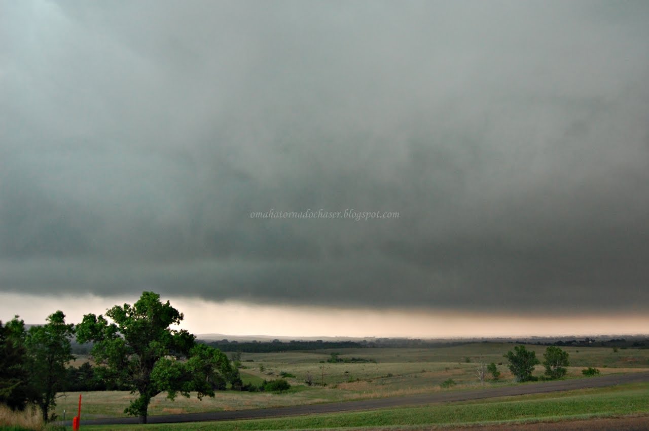
just a mean looking storm!

changed it to black and white!

view out over the lake at Wilson State Park

green hail core with storm


the storm seemed to be scraping the ground at times

area of rotation that went overhead near the lake

picture of the TIV from Storm Chasers

storm still green and mean

2 broad areas of rotation trying to develop

last pic of the night

radar showing the areas of rotation. we are the white circle with the dot

couple of mean looking storms trying to form a tornado

hail core that we drove through on way home showing baseball sized hail

last storm of the night with a tornado warning as we drove away

map of the route we took down in kansas
Total miles: 729
Largest hail: 2"
strongest wind: est 50-60 mph
one funnel/ possible rain wrapped tornado

1 comment:
as I write this there is a tornado on the ground in northern nebraska and I have to wonder if your on the chase????
Post a Comment