
first risk outlook issued just after midnight the night before
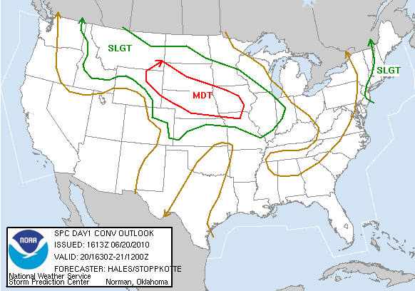
risk area issued at 1130 am that day

hail probabilities, notice the huge "hatched" are meaning a high risk of very large hail

tornado chances showing a fairly high risk of tornadoes

the chances were also very high for large area to get a line of extreme damaging winds over 80 mph, including the possibility of a derecho developing which is a long lived, large line of damaging winds
i was a little surprised that the risk area stayed as far north as it did, for as long as it did. like i mentioned clouds and rain ruined the really strong instability that was supposed to develop. anyways casey and i continued on south and west of omaha, finally arriving in north central kansas on hwy 181 west of a town called dentonia. the storms that were moving in from the west were only severe warned for 60 mph winds. we found a gravel road to head west on from the hwy that allowed us to get a good view of the incoming line of storms. it was a fairly cool looking storm but nothing outstanding.


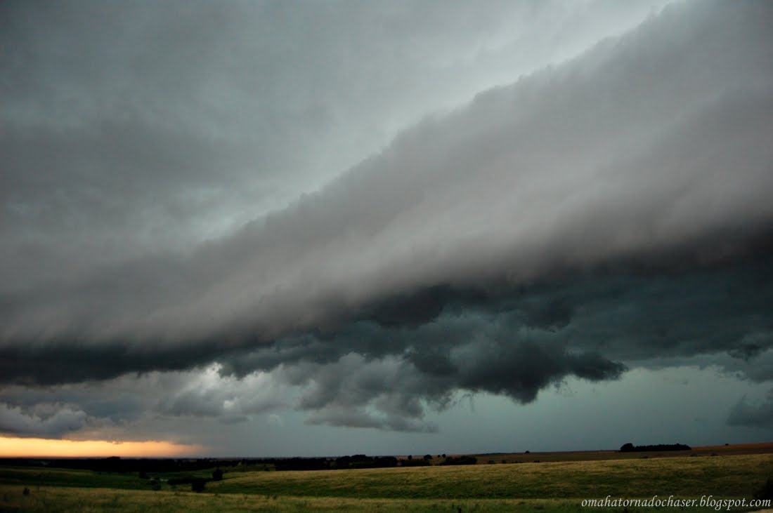

the line began to come over us and we didn't want to stay on gravel in the rain so we got back to the hwy and headed back north. i knew we would be driving in the storm as it moved across us to the east. the storm had fairly strong winds and very heavy rain. suddenly after a few minutes on the highway, the nws put out a tornado warning for the storm we were on! the storm had really bowed out now and on the northern end of the line was a notch where tornadoes can form. the winds which had been howling in from the west, switched to the north and then east and then south as we were driving. about this same time a report came out of a tornado on the ground right near our location.

radar grab of the line of storms right after the tornado warning came out. we're located at the white circle inside the purple box under the red lines! the tornado would be in that notch in the bright colors to the left of us!

a little bit later as we are heading east, the tornadic part of the storm is now to our northwest behind us.
it's very possible we were right underneath the tornado or at very least very close to where it developed! we never saw a tornado, but the reports of the tornado on the ground were rain wrapped tornadoes, so in other words very hard to see. we continued to head east on the highway trying to stay in front of the storm. we would stop every 15-30 minutes to try and take pics, but it always seemed like the storm would be right on top of us again! eventually we ended up in marysville, ks and headed north towards home from there. since the storms were moving east and we headed north the line overtook us. the lightning was some of the best lightning i have ever seen. unfortunately of course this was in the middle of the rain so i couldn't stop and get any good pics. overall, this wasn't a horrible chase, and was actually kind of crazy for awhile, but i was disappointed with the overall severe weather that developed.
some pics from the rest of the chase:


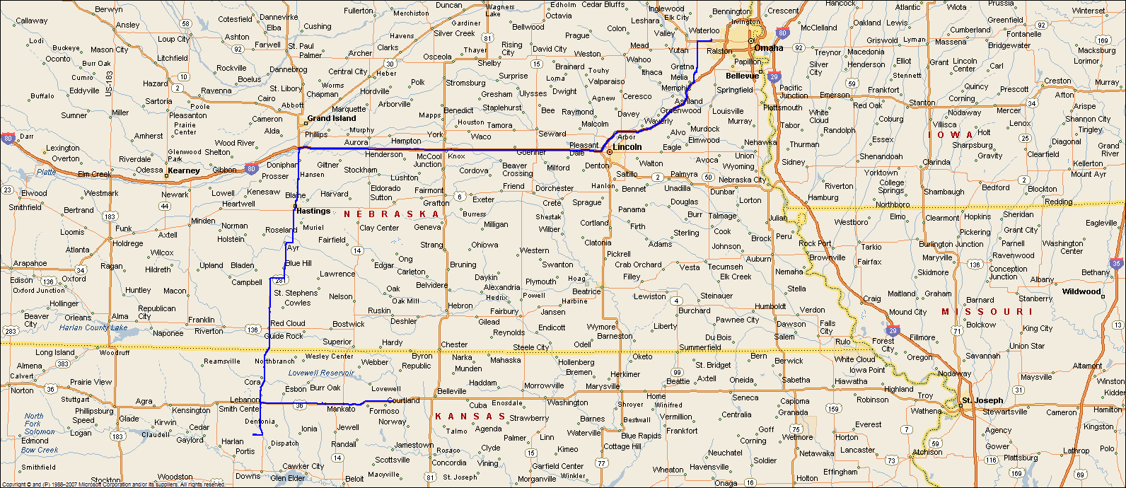
maps of the route(minus the very end on the way home)


No comments:
Post a Comment